

Denmark Geography & Maps


The smallest of the Scandinavian countries, Denmark is located between the North Sea and the Baltic Sea, sharing a short southern border with Germany. The country is made up of the Jutland Peninsula and over 400 islands that make up the Danish archipelago. Despite having home rule, both Greenland and the Faroe Islands are under Danish sovereignty.
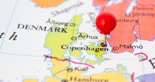
Since the country is found between two oceans, it is not surprising that it enjoys an extensive coastline of approximately 7,300 km (4,536 mi). The rest of the country is generally low-lying with small lakes and fjords. Approximately 70 of Denmark’s islands are populated. The largest island is Zealand (Sjælland in Danish). Located in the eastern part of the country, Zealand also hosts Denmark’s largest city and its capital, Copenhagen. Copenhagen also stretches across parts of the island of Amager. The most populated city in Denmark, Copenhagen is the cultural, economic and governmental centre.
Get a Trip Quote Order a Brochure